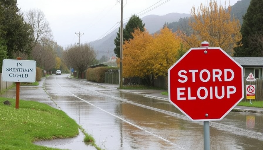
Flooding Disrupts Travel in New Zealand's South Island
Recent heavy rains in New Zealand's South Island have caused significant flooding, affecting numerous roads and travel routes. Emergency alerts were issued as local authorities worked to manage rising waters, particularly in the Clutha District. State Highway 90, a key route, has been closed due to flooding, creating detours for motorists.
The Impact on Local Communities
The flooding is affecting not just travel, but the daily lives of residents as well. Roads such as Toko Mouth Road and several others in the area have been shut down, restricting access for residents and hindering emergency services. With more rain anticipated, the situation could worsen, making it crucial for locals to stay informed about road conditions and safety guidelines.
Flood Precautions and Safety Measures
Authorities are urging caution as water levels continue to rise. Navigating flooded roads poses risks, and those traveling in affected areas are advised to heed road signs and warnings. While some flood waters have receded, there are still areas where water remains a hazard, necessitating vigilant travel practices.
Where to Find Updates and Further Information
For those in Southland and surrounding regions, staying updated is vital. Local councils, such as the Southland District Council, provide timely information via alerts on road conditions and closures. Residents can make use of apps and services like Antenno to receive real-time alerts about their vicinity.
Looking Forward: Weather Predictions
The New Zealand MetService has issued warnings about further rain and wind conditions that may impact the area through the upcoming week. With forecasts suggesting additional heavy rainfall, it is essential for residents and travelers alike to keep informed about weather updates that could affect road safety.
 Add Row
  Add
Add 


Write A Comment